 SimpliNav
SimpliNav
SimpliNav

NoteSnap GPS is a geotagged photo & video camera with a live GPS overlay, instant land-area measurement, and survey-ready exports — built for field inspectors, surveyors, and engineers.
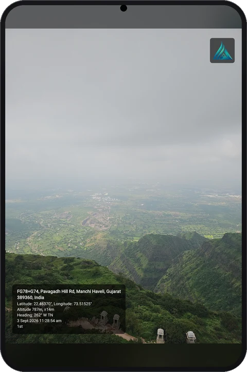
One-tap capture, live tracking, and reports — all on-device.
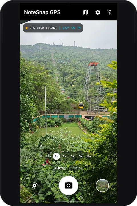
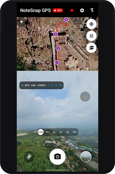
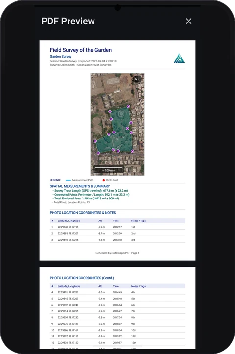
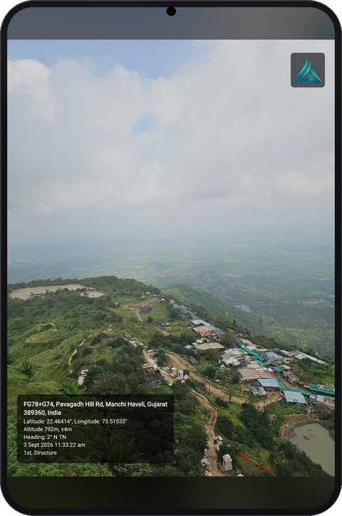
Burn coordinates, altitude, bearing, date/time, and site notes directly onto your photos and videos.
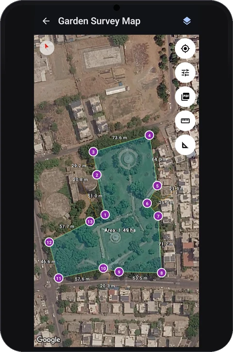
Calculate polygon land area, 2D/3D distance, and segment bearings right in the field.
Export sessions to PDF reports, KML, CSV, GeoJSON, and GPX — ready for any workflow.
Your data, photos, and GPS tracks stay stored locally. Nothing leaves your device.